R. A. Skelton
1906 — 1970 · 21 obras en el catálogo
Obras

Animals all
Local maps and plans from medieval England

Decorative printed maps of the 15th and 18th centuries
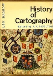
History of Cartography
The military survey of Scotland, 1747-1755

Captain James Cook--after two hundred years
1969
A description of maps and architectural drawings in the collection made by William Cecil, first Baron Burghley, now at Hatfield House
1971
The European image and mapping of America, A.D. 1000-1600
1964

Looking at an early map
1965
The marine surveys of James Cook in North America, 1758-1768
1967
A Venetian terrestial globe, represented by the largest surviving printed gores of the 16th century
1969
The Vinland map
1965
Saxton's survey of England and Wales
1974
County atlases of the British Isles, 1579-1850
1964

Explorers' maps
1958
Maps
1972
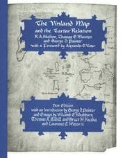
The Vinland map and the Tartar relation
1965
Decorative printed maps of the 15th to 18th centuries
1952